The Land
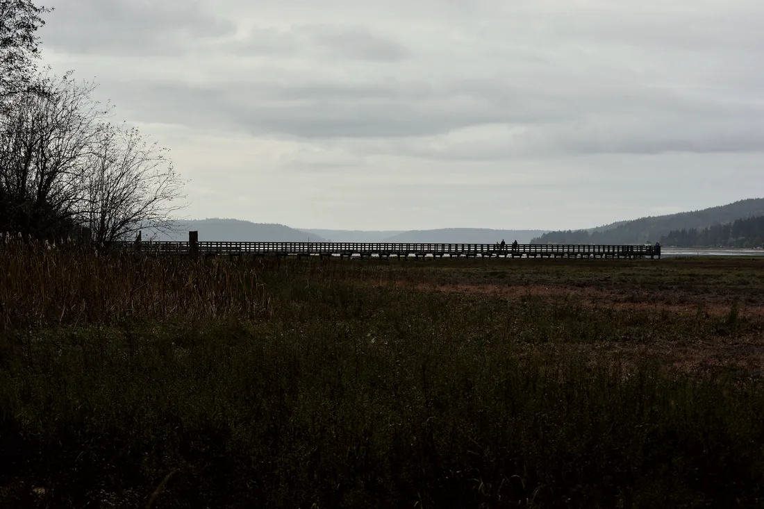
One parcel on the western edge of the Stillaguamish valley, where the Cascade foothills fall away into farmland.
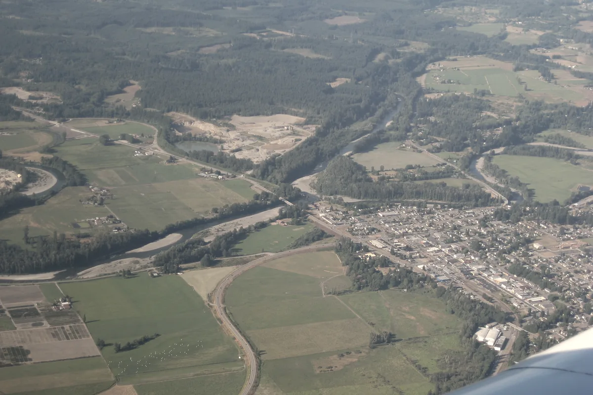
Arlington sits at the seam between mountain and lowland. To the east the ground climbs into Douglas fir and hemlock; to the west it flattens into the river bottoms, fields that flood in a wet year and crack in a dry one. Our parcel is on that seam, which is the useful place to be.
That position gives us three conditions in one property: slope with a grade worth designing for, ground that holds water longer than it should, and a canopy of second-growth conifer that has not been touched in forty years. Each one is a problem in one column and an asset in the other.
Site conditions · Arlington, Washington
What we found
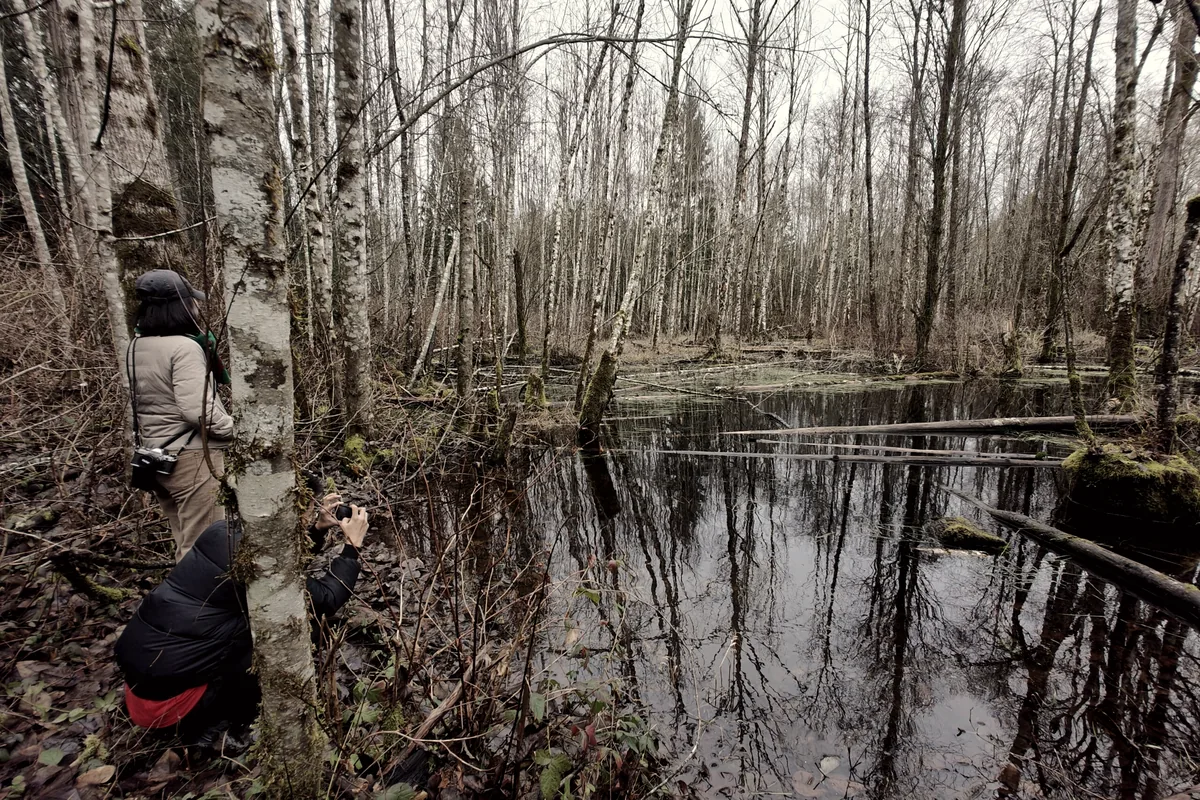
The parcel had been logged at least twice and grazed hard in between. The result is familiar in this county: a stand of even-aged second growth, a hardpan an inch or two under the pasture, and a wet corner where a drainage ditch was cut sometime in the 1970s and never maintained. Water arrives there in November and sits until April.
The soil is glacial till, gravel and clay in unequal measure, with pockets of loam where the alder has been dropping leaves for decades. It drains poorly where it is flat and far too fast where it is steep. Neither condition is fixed. Both are addressable.
What we are doing about it
We treat the whole parcel as one water system. Keyline layout came first, on paper before anything was cut, to read the slope and decide where water should slow down. Swales and two small ponds followed. Everything since — the silvopasture rows, the orchard, the buildings we are planning — has been placed relative to that water.
The rest of the work is slower and mostly biological: charcoal into the pasture, trees into the wet corner, animals rotated through in a pattern tight enough to build soil rather than mine it.
Visiting
The parcel is not a park and is not open to the public. We host visits by appointment, and on most Saturdays the gate is open for a few hours in the morning. If you are working on similar ground, we would rather walk it with you than answer questions about it.
Plates
Photographs illustrating the conditions described above.